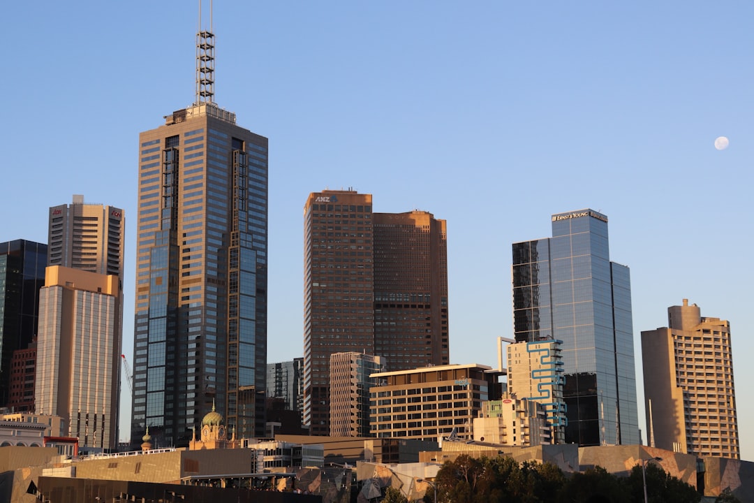
The Best Skyline Photo Spots around Albert Park and Lake in Australia

Explore Skyline pictures of Albert Park and Lake with the travel spots on a map
Download the Travel Map of Australia on Google Maps here
10 Skyline Spots of Albert Park and Lake on a Map
Pictures of Skyline on the interacive map of Albert Park and Lake
Download On Google Maps 🗺️📲Skyline Spots and Pictures around Albert Park and Lake
Discover popular destinations in Albert Park and Lake with their travel guides
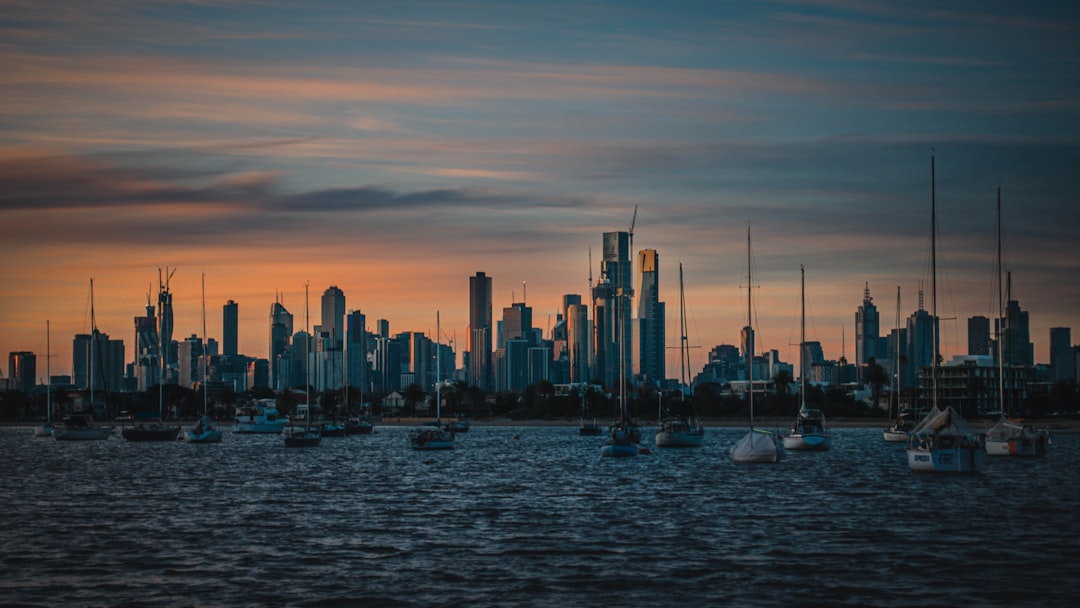
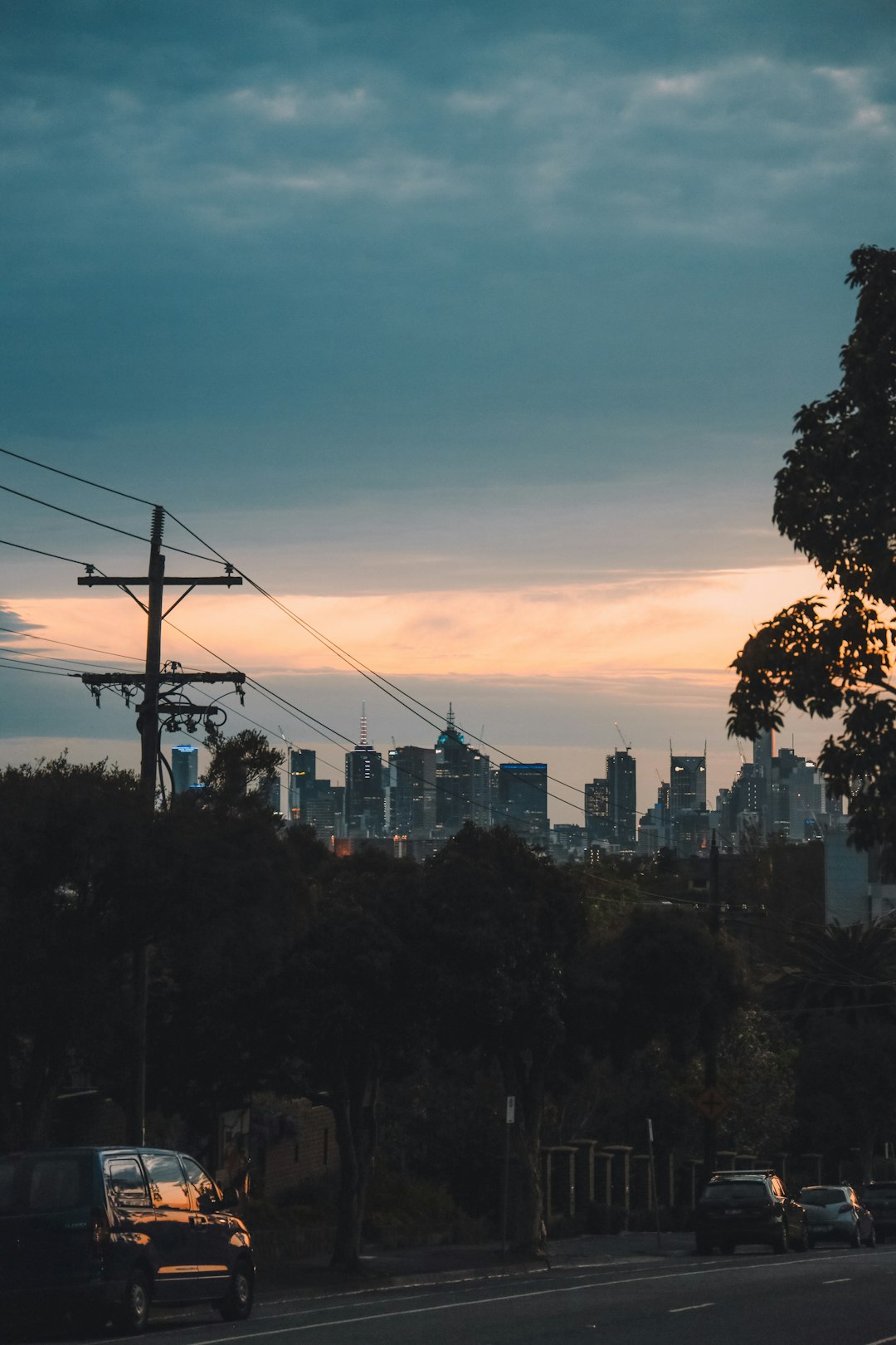
Albert Park and Lake
Read the Travel guide View on Google Maps
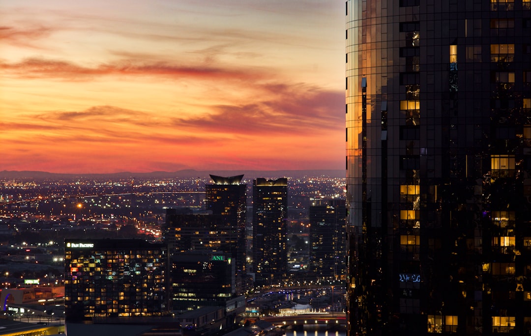
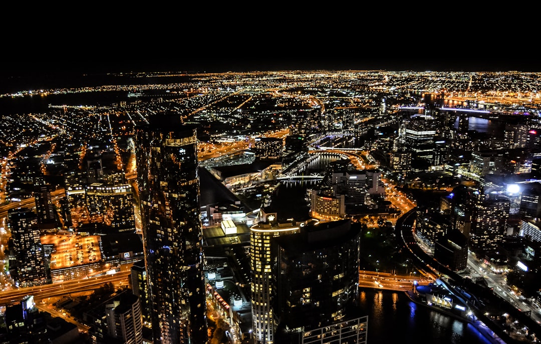
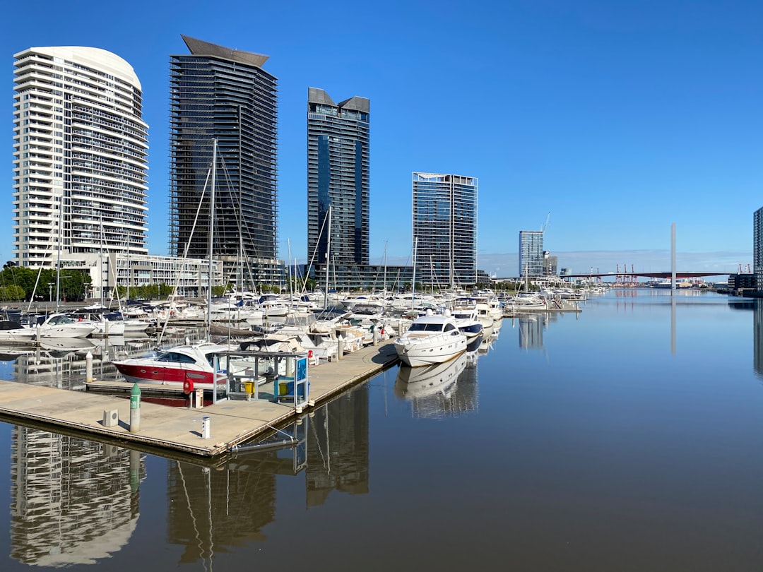
Southbank VIC
2 km away from Albert Park and Lake
Read the Travel guide View on Google Maps
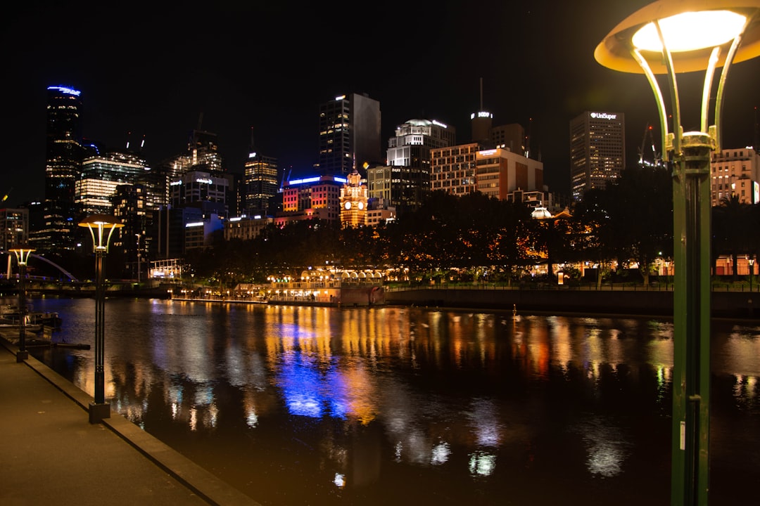
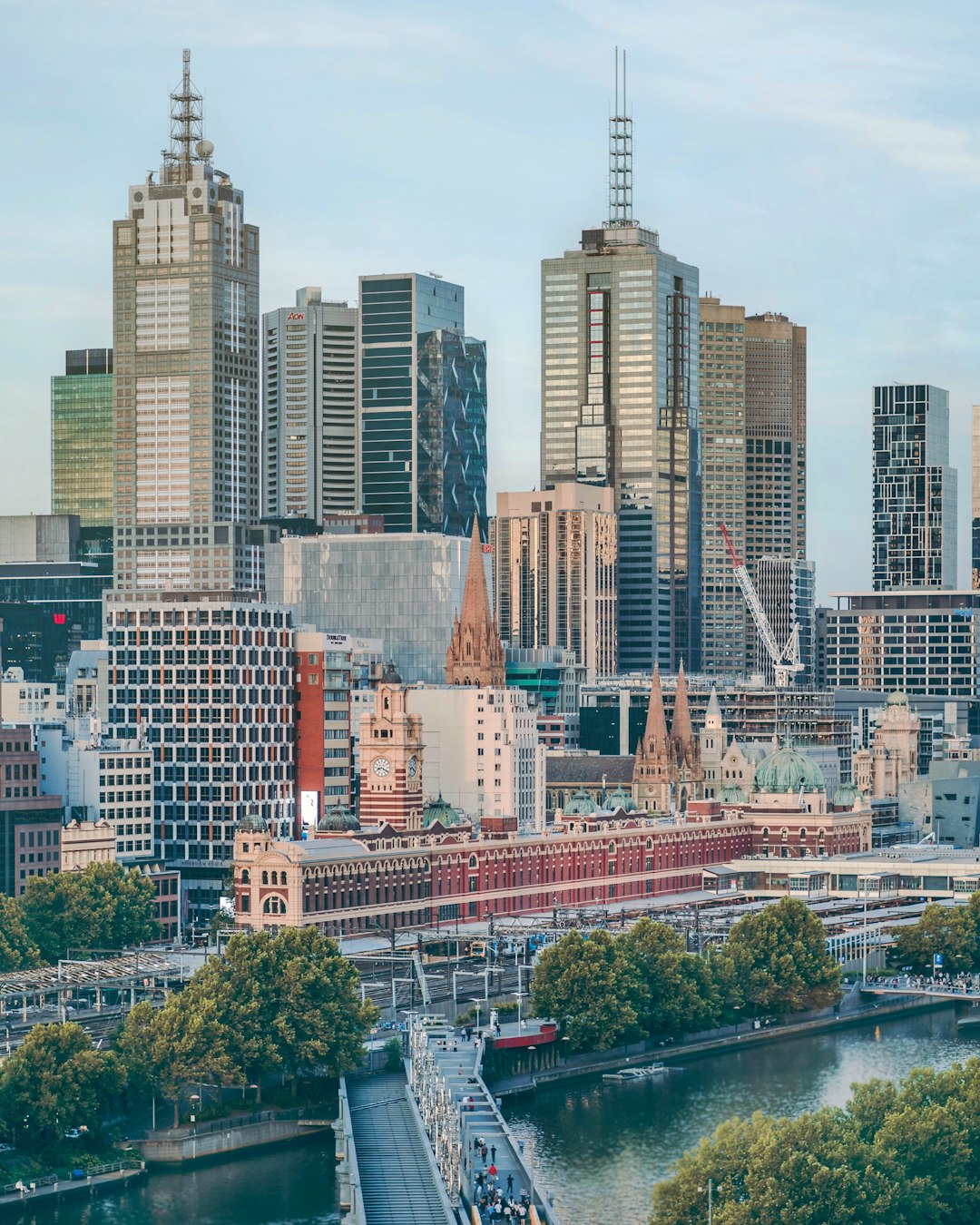
Flinders Street
2 km away from Albert Park and Lake
Read the Travel guide View on Google Maps
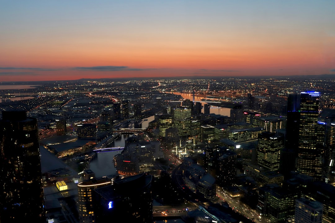
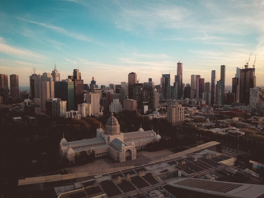
Melbourne
3 km away from Albert Park and Lake
Read the Travel guide View on Google Maps
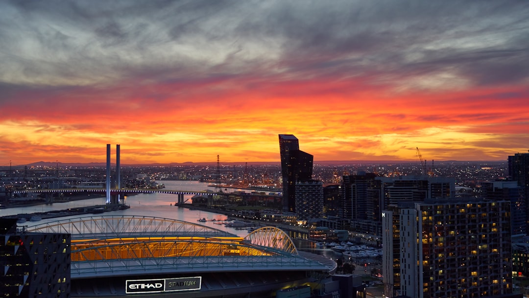
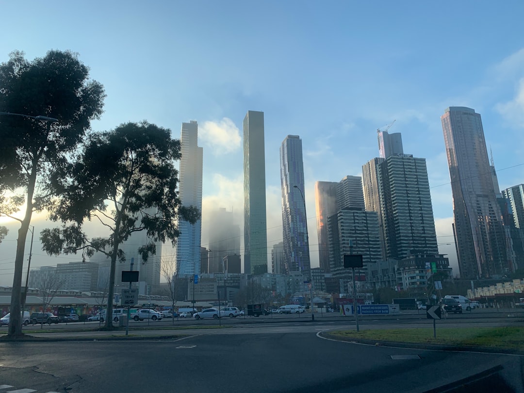
Docklands VIC
3 km away from Albert Park and Lake
Read the Travel guide View on Google Maps

Capital City Trail
3 km away from Albert Park and Lake
Read the Travel guide View on Google Maps
St Kilda VIC
3 km away from Albert Park and Lake
Read the Travel guide View on Google Maps
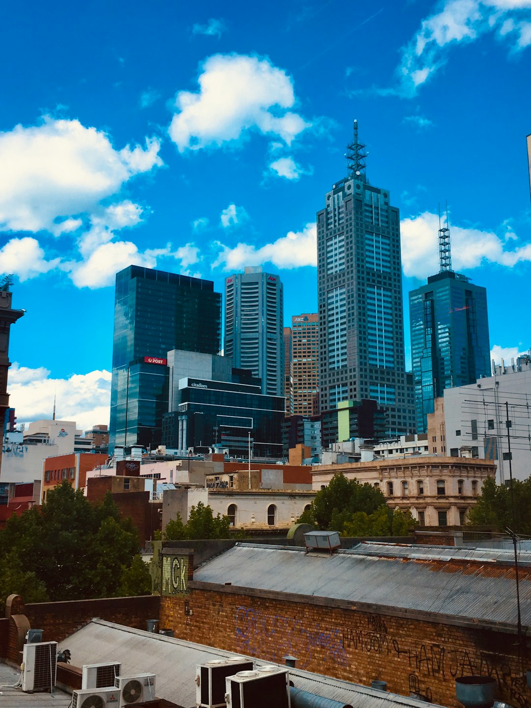
CBD
3 km away from Albert Park and Lake
Read the Travel guide View on Google Maps
4 State Route 55
4 km away from Albert Park and Lake
Read the Travel guide View on Google Maps
Kew VIC
6 km away from Albert Park and Lake
Read the Travel guide View on Google Maps
Book your Travel Experience in Albert Park and Lake
Discover the best tours and activities in Albert Park and Lake and book your travel experience today with our booking partners
Learn More about Albert Park and Lake
Find Hotels in Albert Park and Lake
Discover the best hotels around Albert Park and Lake, Australia and book your stay today with our booking partner booking.com